Акс:Curaçao location map.svg

Ҳаҷми пешнамоиши PNG барои файли кунунии SVG: 587 × 600 пиксел. Дигар кайфиятҳо: 235 × 240 пиксел | 470 × 480 пиксел | 751 × 768 пиксел | 1 002 × 1 024 пиксел | 2 004 × 2 048 пиксел | 994 × 1 016 пиксел.
Акси аслӣ (SVG парванда, исмӣ 994 × 1 016 пиксел, андозаи парванда: 88 кбайт)
Хулоса
| Тавсифот |
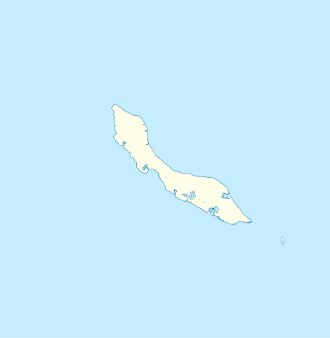
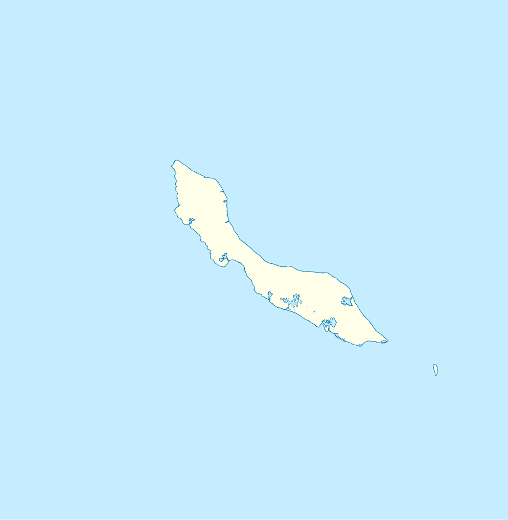
English: Blank administrative map of Curaçao
Français : Carte administrative vierge de Curaçao
|
| Сана | 18:29 |
| Манбаъ | http://openstreetmap.fr/ |
| Муаллиф | Xfigpower (pssst), 24 February 2011 (UTC) |
| SVG genesis |
Иҷозатнома
I, the copyright holder of this work, hereby publish it under the following licenses:

|
Permission is granted to copy, distribute and/or modify this document under the terms of the GNU Free Documentation License, Version 1.2 or any later version published by the Free Software Foundation; with no Invariant Sections, no Front-Cover Texts, and no Back-Cover Texts. A copy of the license is included in the section entitled GNU Free Documentation License. |
This file is licensed under the Creative Commons Attribution 3.0 Unported license.
- Шумо озодед:
- мубодилот намудан – копӣ, паҳн ва фиристадани асар
- ремикс кардан – татбиқи кор
- Under the following conditions:
- тахсис – You must give appropriate credit, provide a link to the license, and indicate if changes were made. You may do so in any reasonable manner, but not in any way that suggests the licensor endorses you or your use.
Шумо иҷозатномаи хостаи худро интихоб карда метавонед.
Таърихи файл
Рӯи таърихҳо клик кунед то нусхаи марбути парвандаро бубинед.
| Таърих | Бандангуштӣ | Андоза | Корбар | Тавзеҳ | |
|---|---|---|---|---|---|
| нусхаи феълӣ | 18:29, 24 феврали 2011 | | 994 × 1 016 (88 кбайт) | Xfigpower | {{Information |Description ={{en|1=Blank administrative map of Curaçao}} {{fr|1=Carte administrative vierge de Curaçao * N : 12.7° * S : 11,7° * O : -69,5° * E :-68.5}} |Source =http://openstreetmap.fr/ |Author =~~~~ |Date |
Пайвандҳо
Саҳифаҳои зерин ба ин акс пайванданд:
Истифодаи саросарии парванда
Викиҳои дигари зерин ин файлро истифода мекунанд:
- Истифода дар af.wikipedia.org
- Истифода дар an.wikipedia.org
- Истифода дар ar.wikipedia.org
- Истифода дар ast.wikipedia.org
- Истифода дар be-tarask.wikipedia.org
- Истифода дар bg.wikipedia.org
- Истифода дар bn.wikipedia.org
- Истифода дар bs.wikipedia.org
- Истифода дар ceb.wikipedia.org
- Plantilya:Location map Curacao
- Nieuwpoort
- Santa Barbara
- Ceru Pretu
- Westpunt
- Ceru Grandi
- Noordpunt
- Seru Grandi
- Punta Blanku
- Tafelberg
- Newport
- Lagoen
- Punta Santa Barbara
- Leeward Point
- Punta Caballero
- Willemstad
- Boca Santa Cruz
- Penso
- Ser’i Palomba
- Negropont
- Meeuwtje
- Seru Kabayé
- Seru Zjeremi
- Zakitó
- Ser'i Yuana
- Willemstad (ulohang dakbayan)
- Willemberg
- Westpunt (punta sa Kurasaw)
- Waaigat
- Baai van Versali
- Veerisberg
- Seru Un Blachi
- Seru Tinta
- Tafelberg (Curaçao)
- Spaanse Water
- Spaanse Haven
- Sint Michielsberg
View more global usage of this file.