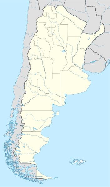
Акс:Argentina location map.svg

Ҳаҷми пешнамоиши PNG барои файли кунунии SVG: 352 × 599 пиксел. Дигар кайфиятҳо: 141 × 240 пиксел | 282 × 480 пиксел | 451 × 768 пиксел | 602 × 1 024 пиксел | 1 204 × 2 048 пиксел | 1 418 × 2 412 пиксел.
Акси аслӣ (SVG парванда, исмӣ 1 418 × 2 412 пиксел, андозаи парванда: 1,03 Мбайт)
Хулоса
.svg)
.svg)

|
This map has been made or improved in the German Kartenwerkstatt (Map Lab). You can propose maps to improve as well.
|
Иҷозатнома
I, the copyright holder of this work, hereby publish it under the following licenses:

|
Permission is granted to copy, distribute and/or modify this document under the terms of the GNU Free Documentation License, Version 1.2 or any later version published by the Free Software Foundation; with no Invariant Sections, no Front-Cover Texts, and no Back-Cover Texts. A copy of the license is included in the section entitled GNU Free Documentation License. |
This file is licensed under the Creative Commons Attribution-Share Alike 3.0 Unported license.
- Шумо озодед:
- мубодилот намудан – копӣ, паҳн ва фиристадани асар
- ремикс кардан – татбиқи кор
- Under the following conditions:
- тахсис – You must give appropriate credit, provide a link to the license, and indicate if changes were made. You may do so in any reasonable manner, but not in any way that suggests the licensor endorses you or your use.
- саҳми яксон – If you remix, transform, or build upon the material, you must distribute your contributions under the same or compatible license as the original.
Шумо иҷозатномаи хостаи худро интихоб карда метавонед.
Таърихи файл
Рӯи таърихҳо клик кунед то нусхаи марбути парвандаро бубинед.
| Таърих | Бандангуштӣ | Андоза | Корбар | Тавзеҳ | |
|---|---|---|---|---|---|
| нусхаи феълӣ | 15:26, 11 августи 2022 | | 1 418 × 2 412 (1,03 Мбайт) | Janitoalevic | Reverted to version as of 02:18, 25 May 2021 (UTC) |
| 00:27, 9 май 2022 |  | 1 418 × 2 412 (1,51 Мбайт) | Buttons0603 | Reverted to version as of 20:33, 29 January 2021 (UTC) see below | |
| 02:18, 25 май 2021 |  | 1 418 × 2 412 (1,03 Мбайт) | MinervaAustral | Reverted to version as of 03:37, 24 November 2018 (UTC) | |
| 20:33, 29 Январ 2021 |  | 1 418 × 2 412 (1,51 Мбайт) | Buttons0603 | Reverted to version as of 13:13, 23 November 2018 (UTC) There is already a version with the Falklands in white at File:Argentina location map (+Falkland).svg for when such a map is needed. | |
| 03:37, 24 ноябри 2018 |  | 1 418 × 2 412 (1,03 Мбайт) | Cacen Gymraeg | Reverted to version as of 01:43, 6 November 2017 (UTC). Added claim territories (neutral point of view) | |
| 13:13, 23 ноябри 2018 |  | 1 418 × 2 412 (1,51 Мбайт) | Mr. James Dimsey | Reverted to version as of 23:25, 9 October 2015 (UTC) | |
| 01:43, 6 ноябри 2017 |  | 1 418 × 2 412 (1,03 Мбайт) | Janitoalevic | Added Fontana and Plata Lake. | |
| 01:37, 6 ноябри 2017 |  | 1 418 × 2 412 (1,02 Мбайт) | Janitoalevic | Fixed provincial and international borders. | |
| 21:36, 25 марти 2016 |  | 1 418 × 2 412 (997 кбайт) | Janitoalevic | Added all the Disputed Territories | |
| 19:00, 21 марти 2016 |  | 1 418 × 2 412 (994 кбайт) | Gustavo Girardelli | Detalles. |
.svg)
Пайвандҳо
Саҳифаҳои зерин ба ин акс пайванданд:
- Пойгоҳи ҳавоии Аргентина
- Фурудгоҳи биналмилалӣ министру писторини
- Фурудгоҳи биналмилалӣ оингниру орновтику омбрсю торовло
- Фурудгоҳи вело ринолдз
- Фурудгоҳи гуолҳгуочу
- Фурудгоҳи дуктур ортуру овмбрту оииио
- Фурудгоҳи ло плото
- Фурудгоҳи ло ҳигурос
- Фурудгоҳи нкучо
- Фурудгоҳи обе кумукс
- Фурудгоҳи онтувон дуснт огзупри
- Фурудгоҳи посу ду лӯс либрс
- Фурудгоҳи пурту дсиоду
- Фурудгоҳи ркункуиеҳисто
- Фурудгоҳи сонто трсито
- Фурудгоҳи тортогол артишбуд онрикҳ москни
- Фурудгоҳи фиронсеску гӯё
- Шаблон:Location map Argentina
Истифодаи саросарии парванда
Викиҳои дигари зерин ин файлро истифода мекунанд:
- Истифода дар af.wikipedia.org
- Comodoro Rivadavia
- Mar del Plata
- Bariloche
- La Plata
- Villa General Belgrano
- FIFA Sokker-Wêreldbekertoernooi in 1978
- Balcarce
- Sarmiento
- Sjabloon:Liggingkaart Argentinië
- Monserrat, Buenos Aires
- Aconcagua
- Ojos del Salado
- Los Toldos
- Coloradorivier (Argentinië)
- Rawson
- Ministro Pistarini Internasionale Lughawe
- Истифода дар an.wikipedia.org
- Истифода дар ar.wikipedia.org
- Истифода дар ast.wikipedia.org
- Buenos Aires
- Abbott
- Agote (Buenos Aires)
- La Plata
- Partido de La Plata
- Abasto (La Plata)
- Ángel Etcheverry
- Arturo Seguí
- City Bell
- Joaquín Gorina
- José Hernández (Buenos Aires)
- Manuel B. Gonnet
- Ringuelet
- Tolosa (Buenos Aires)
- Villa Elvira
- Ignacio Correas
- El Peligro (La Plata)
- San Carlos (Buenos Aires)
- San Lorenzo (Buenos Aires)
- Ríu de la Plata
- Mendoza (Arxentina)
- Costa de Reyes
View more global usage of this file.