Акс:Czech Republic location map.svg

Ҳаҷми пешнамоиши PNG барои файли кунунии SVG: 800 × 487 пиксел. Дигар кайфиятҳо: 320 × 195 пиксел | 640 × 389 пиксел | 1 024 × 623 пиксел | 1 280 × 779 пиксел | 2 560 × 1 558 пиксел | 1 004 × 611 пиксел.
Акси аслӣ (SVG парванда, исмӣ 1 004 × 611 пиксел, андозаи парванда: 152 кбайт)
Хулоса
| Тавсифот |
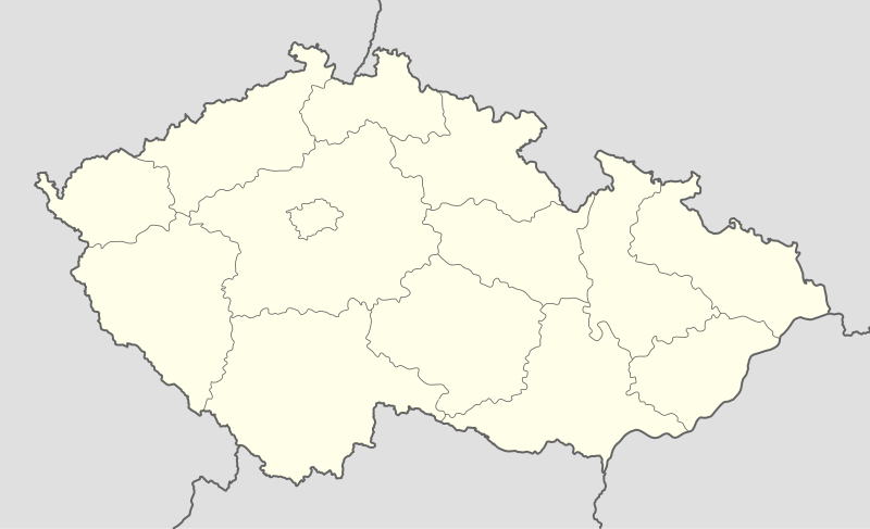
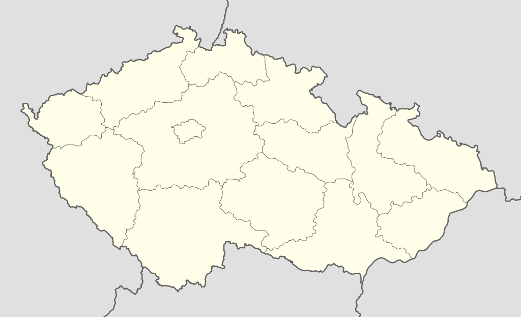
Deutsch: Positionskarte von Tschechien
Quadratische Plattkarte, N-S-Streckung 150 %. Geographische Begrenzung der Karte:
English: Location map of the Czech Republic
Equirectangular projection, N/S stretching 150 %. Geographic limits of the map:
|
| Сана | |
| Манбаъ | own work, using United States National Imagery and Mapping Agency data |
| Муаллиф | Lencer |

|
This map has been made or improved in the German Kartenwerkstatt (Map Lab). You can propose maps to improve as well.
|
Иҷозатнома
I, the copyright holder of this work, hereby publish it under the following licenses:

|
Permission is granted to copy, distribute and/or modify this document under the terms of the GNU Free Documentation License, Version 1.2 or any later version published by the Free Software Foundation; with no Invariant Sections, no Front-Cover Texts, and no Back-Cover Texts. A copy of the license is included in the section entitled GNU Free Documentation License. |
This file is licensed under the Creative Commons Attribution-Share Alike 3.0 Unported license.
- Шумо озодед:
- мубодилот намудан – копӣ, паҳн ва фиристадани асар
- ремикс кардан – татбиқи кор
- Under the following conditions:
- тахсис – You must give appropriate credit, provide a link to the license, and indicate if changes were made. You may do so in any reasonable manner, but not in any way that suggests the licensor endorses you or your use.
- саҳми яксон – If you remix, transform, or build upon the material, you must distribute your contributions under the same or compatible license as the original.
Шумо иҷозатномаи хостаи худро интихоб карда метавонед.
Таърихи файл
Рӯи таърихҳо клик кунед то нусхаи марбути парвандаро бубинед.
| Таърих | Бандангуштӣ | Андоза | Корбар | Тавзеҳ | |
|---|---|---|---|---|---|
| нусхаи феълӣ | 12:30, 2 октябри 2012 | | 1 004 × 611 (152 кбайт) | Palosirkka | Reverted to version as of 20:07, 22 July 2009 Location maps must remain very accurate |
| 11:47, 2 октябри 2012 |  | 1 005 × 611 (72 кбайт) | Palosirkka | Scrubbed with http://codedread.com/scour/ | |
| 20:07, 22 июли 2009 |  | 1 004 × 611 (152 кбайт) | Egg | Removed unnecessary XML elements. | |
| 18:53, 5 сентябри 2008 |  | 1 004 × 611 (155 кбайт) | Lencer | {{Information |Description= |Source= |Date= |Author= |Permission= |other_versions= }} | |
| 12:16, 16 августи 2008 |  | 1 004 × 611 (157 кбайт) | Lencer | {{Information |Description= |Source= |Date= |Author= |Permission= |other_versions= }} | |
| 08:10, 24 июли 2008 |  | 596 × 362 (151 кбайт) | NordNordWest | {{Information |Description= {{de|Positionskarte von Tschechien}} Quadratische Plattkarte, N-S-Streckung 150 %. Geographische Begrenzung der Karte: * N: 51.3° N * S: 48.3° N * W: 11.8° O * O: 19.2° O {{en|Location map of the |
Пайвандҳо
Ин акс дар ҳеҷ саҳифа истифода намешавад.
Истифодаи саросарии парванда
Викиҳои дигари зерин ин файлро истифода мекунанд:
- Истифода дар arz.wikipedia.org
- Истифода дар bg.wikipedia.org
- Истифода дар bn.wikipedia.org
- Истифода дар bs.wikipedia.org
- Истифода дар ckb.wikipedia.org
- Истифода дар cs.wikipedia.org
- 1. česká fotbalová liga
- Česká hokejová extraliga 1999/2000
- Česká hokejová extraliga 2000/2001
- Česká hokejová extraliga 2001/2002
- Česká hokejová extraliga 2002/2003
- Česká hokejová extraliga 2003/2004
- Česká hokejová extraliga 2004/2005
- Česká hokejová extraliga 2005/2006
- Česká hokejová extraliga 2006/2007
- Česká hokejová extraliga 2007/2008
- 2. česká hokejová liga 1994/1995
- 2. česká hokejová liga 1993/1994
- 2. česká hokejová liga 1995/1996
- 2. česká hokejová liga 1996/1997
- 2. česká hokejová liga 1997/1998
- 2. česká hokejová liga 1998/1999
- 2. česká hokejová liga 1999/2000
- 2. česká hokejová liga 2000/2001
- 2. česká hokejová liga 2001/2002
- Česká hokejová extraliga 2008/2009
- Česká hokejová extraliga 2009/2010
- Česká hokejová extraliga 2010/2011
- 2. česká hokejová liga 2011/2012
- 1. česká hokejová liga 2011/2012
- Česká hokejová extraliga 2011/2012
- Česká hokejová extraliga 2012/2013
- 1. česká hokejová liga 2012/2013
- Česká fotbalová liga 2012/2013
- 2. česká hokejová liga 2012/2013
- Extraliga hokejbalu 2012/2013
- 1. česká hokejová liga 2013/2014
- Česká hokejová extraliga 2013/2014
- Juniorská liga 2012/2013
- Juniorská liga 2013/2014
- 2. česká hokejová liga 2013/2014
- Česká fotbalová liga 2013/2014
- Wikipedie:Mediagrant/Události/Cíle
- CCM extraliga inline hokeje 2014
- Extraliga hokejbalu 2013/2014
View more global usage of this file.