Акс:Gloucestershire UK locator map 2010.svg

Ҳаҷми пешнамоиши PNG барои файли кунунии SVG: 494 × 600 пиксел. Дигар кайфиятҳо: 198 × 240 пиксел | 395 × 480 пиксел | 633 × 768 пиксел | 843 × 1 024 пиксел | 1 687 × 2 048 пиксел | 1 108 × 1 345 пиксел.
Акси аслӣ (SVG парванда, исмӣ 1 108 × 1 345 пиксел, андозаи парванда: 302 кбайт)
Хулоса
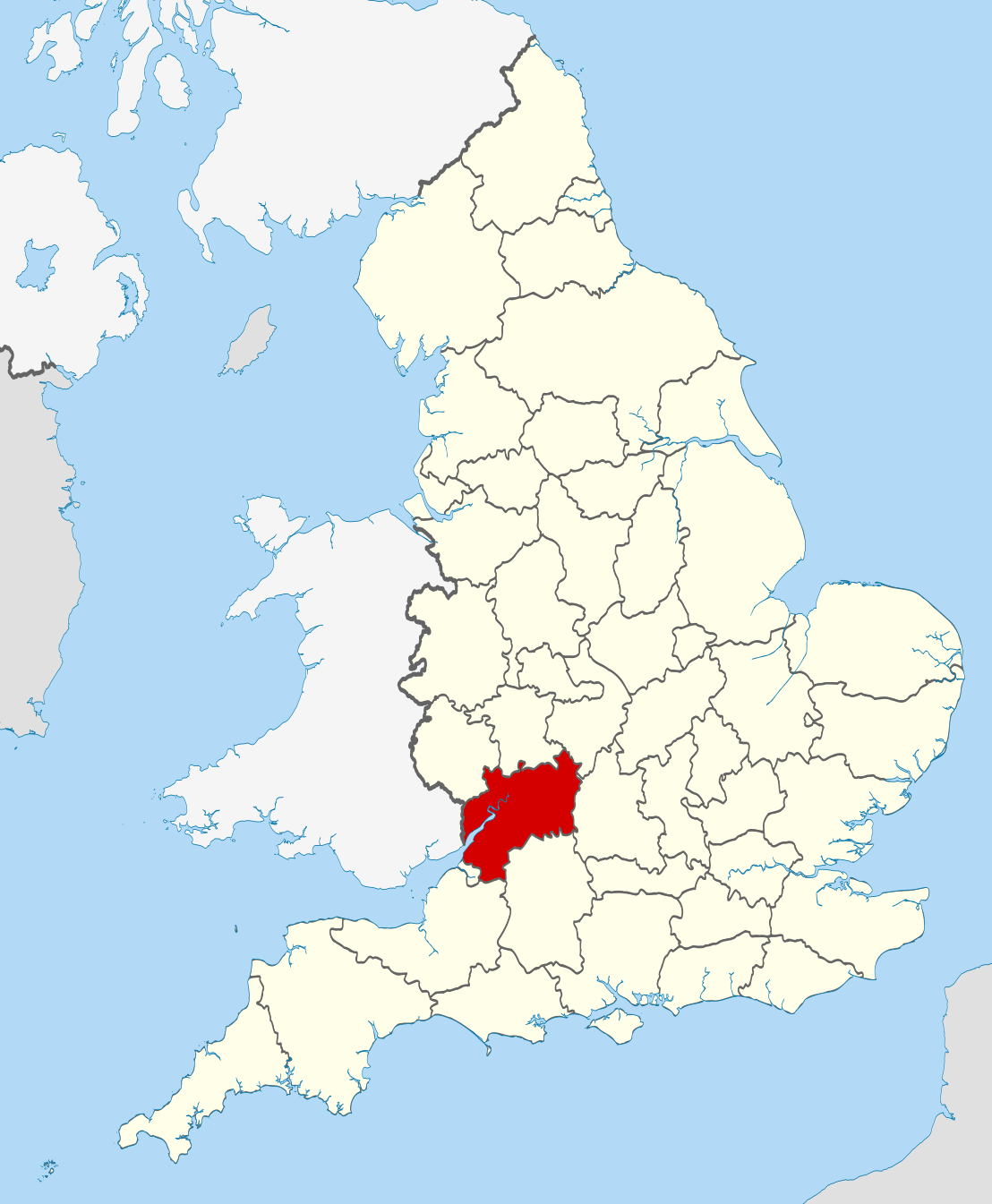
| Тавсифот | Location of the ceremonial county of Gloucestershire within England. |
| Сана | |
| Манбаъ |
National Geospatial-Intelligence Agency
|
| Муаллиф | Nilfanion |
Иҷозатнома
I, the copyright holder of this work, hereby publish it under the following licenses:
This file is licensed under the Creative Commons Attribution-Share Alike 3.0 Unported license.
- Шумо озодед:
- мубодилот намудан – копӣ, паҳн ва фиристадани асар
- ремикс кардан – татбиқи кор
- Under the following conditions:
- тахсис – You must give appropriate credit, provide a link to the license, and indicate if changes were made. You may do so in any reasonable manner, but not in any way that suggests the licensor endorses you or your use.
- саҳми яксон – If you remix, transform, or build upon the material, you must distribute your contributions under the same or compatible license as the original.

|
Permission is granted to copy, distribute and/or modify this document under the terms of the GNU Free Documentation License, Version 1.2 or any later version published by the Free Software Foundation; with no Invariant Sections, no Front-Cover Texts, and no Back-Cover Texts. A copy of the license is included in the section entitled GNU Free Documentation License. |
Шумо иҷозатномаи хостаи худро интихоб карда метавонед.

|
This is one of the images forming part of the Valued image set: Locator maps of the Ceremonial counties of England on Wikimedia Commons. The image set has been assessed under the valued image set criteria and is considered the most valued set on Commons within the scope:
Locator maps of the Ceremonial counties of England
You can see its nomination at Commons:Valued image candidates/Locator maps of English ceremonial counties. |
Таърихи файл
Рӯи таърихҳо клик кунед то нусхаи марбути парвандаро бубинед.
| Таърих | Бандангуштӣ | Андоза | Корбар | Тавзеҳ | |
|---|---|---|---|---|---|
| нусхаи феълӣ | 22:36, 23 ноябри 2010 | | 1 108 × 1 345 (302 кбайт) | Nilfanion | == Summary == {{Information |Description=Location of the ceremonial county of Gloucestershire within England. |Source=Ordnance Survey [https://www.ordnancesurvey.co.uk/opendatadownload/products.html OpenData]: * |
Пайвандҳо
Саҳифаҳои зерин ба ин акс пайванданд:
Истифодаи саросарии парванда
Викиҳои дигари зерин ин файлро истифода мекунанд:
- Истифода дар af.wikipedia.org
- Истифода дар ang.wikipedia.org
- Истифода дар an.wikipedia.org
- Истифода дар ast.wikipedia.org
- Истифода дар be-tarask.wikipedia.org
- Истифода дар bg.wikipedia.org
- Истифода дар br.wikipedia.org
- Истифода дар ca.wikipedia.org
- Истифода дар ceb.wikipedia.org
- Истифода дар cs.wikipedia.org
- Истифода дар da.wikipedia.org
- Истифода дар en.wikipedia.org
- Gloucestershire
- Tewkesbury Abbey
- Gloucester Cathedral
- Hailes Abbey
- Cambridge, Gloucestershire
- Coombe, Gloucestershire
- River Coln
- Kingswood, Stroud District
- Woodchester
- Ruardean Hill
- Winchcombe Abbey
- Avening Valley
- Amberley, Gloucestershire
- Cashes Green
- Brockhampton, Gloucestershire
- Stone, Gloucestershire
- Bamfurlong, Gloucestershire
- Staverton, Gloucestershire
- Whiteshill, Stroud
- Winstone
- Ablington, Gloucestershire
- River Evenlode
- Template:Gloucestershire-geo-stub
- Workmans Wood, Sheepscombe
- River Cam, Gloucestershire
- Five Valleys
- Uckington, Gloucestershire
- Stoke Orchard
- Knightsbridge, Gloucestershire
- Coombe Hill, Tewkesbury
- Alstone, Tewkesbury
- Boddington, Gloucestershire
- Gretton, Gloucestershire
- Dodington, Gloucestershire
- Hillesley
View more global usage of this file.