Акс:Osaka in Osaka Prefecture Ja.svg

Акси аслӣ (SVG парванда, исмӣ 490 × 690 пиксел, андозаи парванда: 30 кбайт)
Хулоса
| Тавсифот |
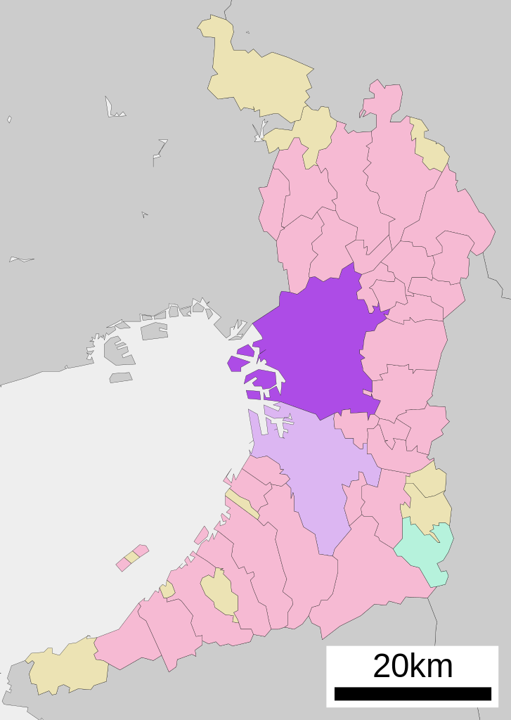
English: Location of Osaka in Osaka Prefecture
|
||
| Сана | |||
| Манбаъ |
|
||
| Муаллиф | Lincun | ||
| Иҷозат (Пешроҳандозии ин парванда) |
|
Иҷозатнома

|
Permission is granted to copy, distribute and/or modify this document under the terms of the GNU Free Documentation License, Version 1.2 or any later version published by the Free Software Foundation; with no Invariant Sections, no Front-Cover Texts, and no Back-Cover Texts. A copy of the license is included in the section entitled GNU Free Documentation License. |
- Шумо озодед:
- мубодилот намудан – копӣ, паҳн ва фиристадани асар
- ремикс кардан – татбиқи кор
- Under the following conditions:
- тахсис – You must give appropriate credit, provide a link to the license, and indicate if changes were made. You may do so in any reasonable manner, but not in any way that suggests the licensor endorses you or your use.
- саҳми яксон – If you remix, transform, or build upon the material, you must distribute your contributions under the same or compatible license as the original.
Original upload log
| This file was moved from Japanese Wikipedia.
See below for original file information. | ||||||||||||||||||||||||
| ||||||||||||||||||||||||
|
| ||||||||||||||||||||||||
Таърихи файл
Рӯи таърихҳо клик кунед то нусхаи марбути парвандаро бубинед.
| Таърих | Бандангуштӣ | Андоза | Корбар | Тавзеҳ | |
|---|---|---|---|---|---|
| нусхаи феълӣ | 08:34, 22 октябри 2020 | | 490 × 690 (30 кбайт) | AichiWikiFixer | Updated as File:Map_of_Osaka_Prefecture_Ja.svg |
| 20:16, 17 апрели 2008 |  | 500 × 772 (16 кбайт) | Krisgrotius | {{Information| |Description= Location of Osaka in Osaka Prefecture |Source= Japanese wiki [http://ja.wikipedia.org/wiki/%E7%94%BB%E5%83%8F:%E5%9F%BA%E7%A4%8E%E8%87%AA%E6%B2%BB%E4%BD%93%E4%BD%8D%E7%BD%AE%E5%9B%B3_27100.svg] |Date=~~~~~ |Author=[[:ja: � | |
| 13:36, 5 октябри 2007 |  | 500 × 772 (16 кбайт) | Lincun | {{基礎自治体位置図画像情報|大阪府|大阪市}} |
Пайвандҳо
Саҳифаҳои зерин ба ин акс пайванданд:
Истифодаи саросарии парванда
Викиҳои дигари зерин ин файлро истифода мекунанд:
- Истифода дар ar.wikipedia.org
- Истифода дар arz.wikipedia.org
- Истифода дар azb.wikipedia.org
- Истифода дар bcl.wikipedia.org
- Истифода дар bn.wikipedia.org
- Истифода дар ca.wikipedia.org
- Истифода дар ceb.wikipedia.org
- Истифода дар ckb.wikipedia.org
- Истифода дар cr.wikipedia.org
- Истифода дар de.wikipedia.org
- Истифода дар en.wikipedia.org
- Истифода дар es.wikipedia.org
- Истифода дар fa.wikipedia.org
- Истифода дар fi.wikipedia.org
- Истифода дар frr.wikipedia.org
- Истифода дар fr.wikipedia.org
- Истифода дар fr.wiktionary.org
- Истифода дар fy.wikipedia.org
- Истифода дар ia.wikipedia.org
- Истифода дар id.wikipedia.org
- Истифода дар ilo.wikipedia.org
- Истифода дар incubator.wikimedia.org
- Истифода дар it.wikipedia.org
- Истифода дар ja.wikipedia.org
- Истифода дар ko.wikipedia.org
- Истифода дар mi.wikipedia.org
- Истифода дар mk.wikipedia.org
- Истифода дар ml.wikipedia.org
- Истифода дар ms.wikipedia.org
- Истифода дар nl.wikipedia.org
- Истифода дар no.wikipedia.org
- Истифода дар pnb.wikipedia.org
- Истифода дар sat.wikipedia.org
- Истифода дар sco.wikipedia.org
- Истифода дар sd.wikipedia.org
- Истифода дар simple.wikipedia.org
- Истифода дар si.wikipedia.org
- Истифода дар sk.wikipedia.org
- Истифода дар sr.wikipedia.org
View more global usage of this file.