Акс:Reliefkarte Afghanistan.png

Андозаи ин пешнамоиш: 800 × 589 пиксел. Дигар кайфиятҳо: 320 × 236 пиксел | 640 × 471 пиксел | 1 024 × 754 пиксел | 1 280 × 943 пиксел | 2 560 × 1 886 пиксел | 3 000 × 2 210 пиксел.
Акси аслӣ ((3 000 × 2 210 пиксел, ҳаҷми парванда: 9 Мбайт, навъи MIME: image/png))
Хулоса
| Тавсифот |
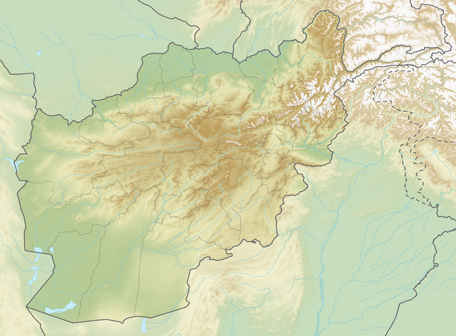
Deutsch: Reliefkarte Afghanistan
Topographischer Hintergrund: NASA Shuttle Radar Topography Mission (public domain). SRTM3 v.2. |
||||||||
| Сана | |||||||||
| Манбаъ | Кори худ | ||||||||
| Муаллиф | Tschubby | ||||||||
| Иҷозат (Пешроҳандозии ин парванда) |
I, the copyright holder of this work, hereby publish it under the following licenses:
This file is licensed under the Creative Commons Attribution-Share Alike 2.5 Generic, 2.0 Generic and 1.0 Generic license.
Шумо иҷозатномаи хостаи худро интихоб карда метавонед. |

Таърихи файл
Рӯи таърихҳо клик кунед то нусхаи марбути парвандаро бубинед.
| Таърих | Бандангуштӣ | Андоза | Корбар | Тавзеҳ | |
|---|---|---|---|---|---|
| нусхаи феълӣ | 19:03, 6 июли 2019 | | 3 000 × 2 210 (9 Мбайт) | Toghrul R | aspect ratio fix to match svg version |
| 04:39, 23 май 2018 |  | 2 864 × 2 210 (8,67 Мбайт) | Tschubby | {{Information |description= |source= |date= |author= |permission= |other versions= }} | |
| 22:50, 22 май 2018 |  | 2 864 × 2 210 (8,51 Мбайт) | Tschubby | == {{int:filedesc}} == {{Information |Description= {{de| Reliefkarte Afghanistan}} Topographischer Hintergrund: [http://www2.jpl.nasa.gov/srtm NASA Shuttle Radar Topography Mission] (public domain). SRTM3 v.2.<br /> Grenzen: Afghanistan adm location map.svg |Source={{own}} |Date= 2018-05-23 |Author= Tschubby |Permission= {{self|GFDL|Cc-by-sa-3.0-migrated|Cc-by-sa-2.5,2.0,1.0}} |other_versions= }} [[Category:Location maps of Afg... |
Пайвандҳо
Саҳифаҳои зерин ба ин акс пайванданд:
Истифодаи саросарии парванда
Викиҳои дигари зерин ин файлро истифода мекунанд:
- Истифода дар ar.wikipedia.org
- Истифода дар arz.wikipedia.org
- Истифода дар az.wikipedia.org
- Истифода дар bg.wikipedia.org
- Хайберски проход
- Балх
- Кабул
- Херат
- Кандахар
- Мазари Шариф
- Шаблон:ПК Афганистан
- Шаблон:Река
- Файзабад
- Бамян (град)
- Асадабад
- Кундуз
- Каян
- Шаблон:Река/doc
- Джелалабад
- Лашкар Гах
- Талукан
- Пули Хумри
- Буди от Бамян
- Мургаб
- Херируд
- Културен ландшафт и археологични останки в Бамиянската долина
- Банд-е Амир
- Кашан (река)
- Кушка (река)
- Газни
- Кабул (река)
- Ношак
- Хамун
- Паропамиз
- Сефид Хук
- Банди Туркестан
- Средноафгански планини
- Баба (хребет)
- Сиахкох
- Бактрийска равнина
View more global usage of this file.