Акс:South Korea location map.svg

Ҳаҷми пешнамоиши PNG барои файли кунунии SVG: 635 × 599 пиксел. Дигар кайфиятҳо: 254 × 240 пиксел | 509 × 480 пиксел | 814 × 768 пиксел | 1 085 × 1 024 пиксел | 2 171 × 2 048 пиксел | 1 772 × 1 672 пиксел.
Акси аслӣ (SVG парванда, исмӣ 1 772 × 1 672 пиксел, андозаи парванда: 376 кбайт)
Хулоса
| Тавсифот |
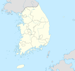
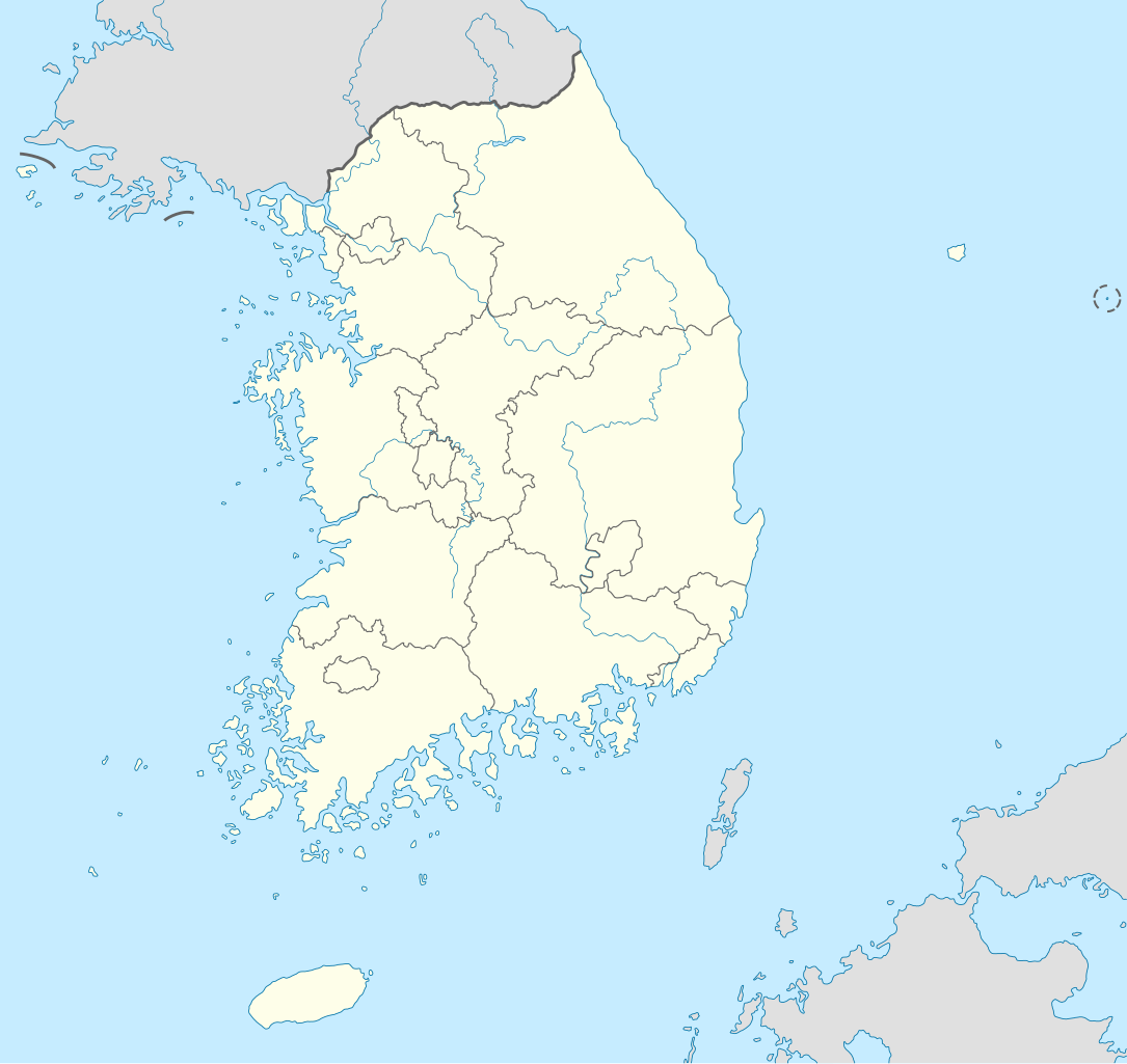
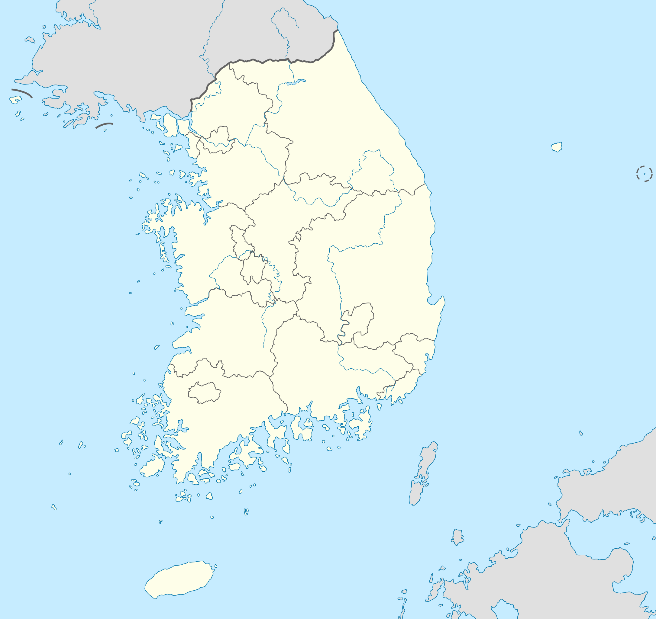
Deutsch: Positionskarte von Südkorea
Quadratische Plattkarte, N-S-Streckung 120 %. Geographische Begrenzung der Karte:
English: Location map of South Korea
Equirectangular projection, N/S stretching 120 %. Geographic limits of the map:
|
||
| Сана | |||
| Манбаъ |
own work, using
|
||
| Муаллиф | NordNordWest | ||
| Other versions |
Derivative works of this file: |
||
| SVG genesis | This locator map was created with Adobe Illustrator.
|

Иҷозатнома
I, the copyright holder of this work, hereby publish it under the following licenses:

|
Permission is granted to copy, distribute and/or modify this document under the terms of the GNU Free Documentation License, Version 1.2 or any later version published by the Free Software Foundation; with no Invariant Sections, no Front-Cover Texts, and no Back-Cover Texts. A copy of the license is included in the section entitled GNU Free Documentation License. |
This file is licensed under the Creative Commons Attribution-Share Alike 3.0 Unported license.
- Шумо озодед:
- мубодилот намудан – копӣ, паҳн ва фиристадани асар
- ремикс кардан – татбиқи кор
- Under the following conditions:
- тахсис – You must give appropriate credit, provide a link to the license, and indicate if changes were made. You may do so in any reasonable manner, but not in any way that suggests the licensor endorses you or your use.
- саҳми яксон – If you remix, transform, or build upon the material, you must distribute your contributions under the same or compatible license as the original.
Шумо иҷозатномаи хостаи худро интихоб карда метавонед.
Таърихи файл
Рӯи таърихҳо клик кунед то нусхаи марбути парвандаро бубинед.
| Таърих | Бандангуштӣ | Андоза | Корбар | Тавзеҳ | |
|---|---|---|---|---|---|
| нусхаи феълӣ | 10:48, 2 июни 2012 | | 1 772 × 1 672 (376 кбайт) | Geoarchive | Update Sejong Special Autonomous City |
| 17:48, 24 октябри 2010 |  | 1 772 × 1 672 (377 кбайт) | NordNordWest | upd | |
| 20:05, 2 октябри 2010 |  | 1 559 × 1 672 (349 кбайт) | NordNordWest | upd | |
| 18:57, 26 августи 2008 |  | 1 559 × 1 673 (502 кбайт) | NordNordWest | {{Information |Description= {{de|Positionskarte von Südkorea}} Quadratische Plattkarte, N-S-Streckung 120 %. Geographische Begrenzung der Karte: * N: 38.9° N * S: 33.0° N * W: 124.5° O * O: 131.1° O {{en|Location map of [[:en:South |
Пайвандҳо
Ин акс дар ҳеҷ саҳифа истифода намешавад.
Истифодаи саросарии парванда
Викиҳои дигари зерин ин файлро истифода мекунанд:
- Истифода дар as.wikipedia.org
- Истифода дар en.wikipedia.org
- Истифода дар fr.wikipedia.org
- Истифода дар fr.wikinews.org
- Истифода дар incubator.wikimedia.org
- Истифода дар ko.wikipedia.org
- Истифода дар sv.wikipedia.org
- Истифода дар zh.wikipedia.org