Акс:Blank US Map with borders.svg

Ҳаҷми пешнамоиши PNG барои файли кунунии SVG: 800 × 495 пиксел. Дигар кайфиятҳо: 320 × 198 пиксел | 640 × 396 пиксел | 1 024 × 633 пиксел | 1 280 × 791 пиксел | 2 560 × 1 583 пиксел | 959 × 593 пиксел.
Акси аслӣ (SVG парванда, исмӣ 959 × 593 пиксел, андозаи парванда: 144 кбайт)
Хулоса
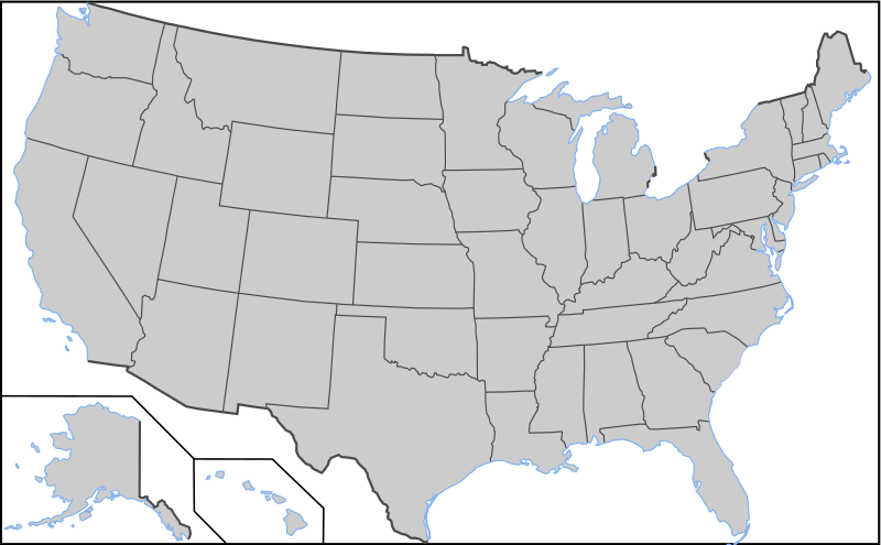
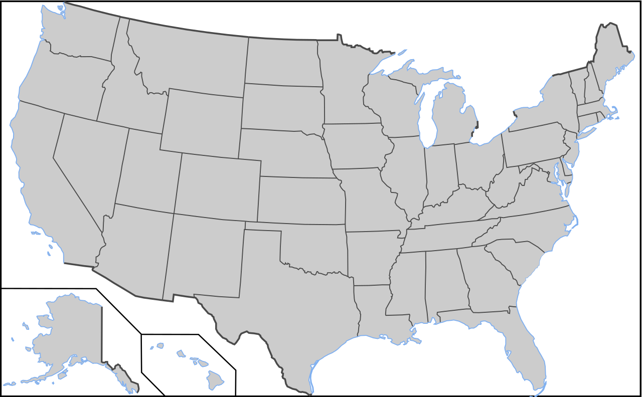
| Тавсифот | Blank US Map with borders. Light blue for water borders and black for land borders (international borders thicker). |
| Сана |
2009-03-12 Originally uploaded over Image:Blank US Map.svg |
| Манбаъ | Own work based on: Blank US Map.svg |
| Муаллиф | User:AMK1211 |
| Other versions |
Derivative works of this file: |
| SVG genesis |
This W3C-unspecified vector image was created with Inkscape .
Иҷозатнома

|
Permission is granted to copy, distribute and/or modify this document under the terms of the GNU Free Documentation License, Version 1.2 or any later version published by the Free Software Foundation; with no Invariant Sections, no Front-Cover Texts, and no Back-Cover Texts. A copy of the license is included in the section entitled GNU Free Documentation License. |
| This file is licensed under the Creative Commons Attribution-Share Alike 3.0 Unported license. | ||
| ||
| This licensing tag was added to this file as part of the GFDL licensing update. |
Таърихи файл
Рӯи таърихҳо клик кунед то нусхаи марбути парвандаро бубинед.
| Таърих | Бандангуштӣ | Андоза | Корбар | Тавзеҳ | |
|---|---|---|---|---|---|
| нусхаи феълӣ | 03:04, 12 ноябри 2010 | | 959 × 593 (144 кбайт) | Theodor Langhorne Franklin | Added more water borders. Made a water borders layer. |
| 02:17, 12 ноябри 2010 |  | 959 × 593 (134 кбайт) | Theodor Langhorne Franklin | Added layers so that land borders could be easily selected to change their color. Added water boundary to Maine. | |
| 16:36, 9 октябри 2008 |  | 959 × 593 (171 кбайт) | Holly Cheng | {{Information |Description=Blank US Map with borders. Light blue for water borders and black for land borders (international borders thicker). |Source=Self-made by User:AMK1211 |Date=Original upload date: 00:20, 12 March 2008 (UTC) |Author=[[User:AMK1 |
Пайвандҳо
Ин акс дар ҳеҷ саҳифа истифода намешавад.
Истифодаи саросарии парванда
Викиҳои дигари зерин ин файлро истифода мекунанд:
- Истифода дар de.wikipedia.org
- Истифода дар diq.wikipedia.org