Акс:Eas a Chual Aluinn from Loch Beag - geograph.org.uk - 29980.jpg
Нусхаи ҳаҷман ва сифатан баландтар дастрас нест.
Eas_a_Chual_Aluinn_from_Loch_Beag_-_geograph.org.uk_-_29980.jpg ((640 × 480 пиксел, ҳаҷми парванда: 88 кбайт, навъи MIME: image/jpeg))
Хулоса
| Тавсифот |
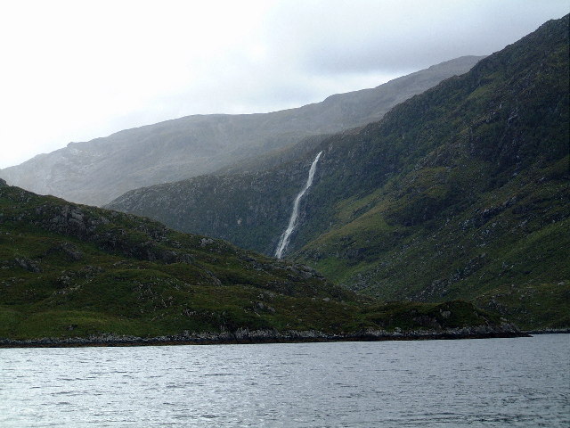
English: Eas a Chual Aluinn from Loch Beag. Highest waterfall in Britain. |
| Сана | |
| Манбаъ | From geograph.org.uk |
| Муаллиф | colin price |
| Тахсис (required by the license) | colin price / Eas a Chual Aluinn from Loch Beag / |
| Camera location | | View this and other nearby images on: OpenStreetMap |
|---|
_heading:157.00&language=tg)
| Object location | | View this and other nearby images on: OpenStreetMap |
|---|
_heading:157.00&language=tg)
Иҷозатнома

|
This image was taken from the Geograph project collection. See this photograph's page on the Geograph website for the photographer's contact details. The copyright on this image is owned by colin price and is licensed for reuse under the Creative Commons Attribution-ShareAlike 2.0 license.
|
This file is licensed under the Creative Commons Attribution-Share Alike 2.0 Generic license.
Тахсис: colin price
- Шумо озодед:
- мубодилот намудан – копӣ, паҳн ва фиристадани асар
- ремикс кардан – татбиқи кор
- Under the following conditions:
- тахсис – You must give appropriate credit, provide a link to the license, and indicate if changes were made. You may do so in any reasonable manner, but not in any way that suggests the licensor endorses you or your use.
- саҳми яксон – If you remix, transform, or build upon the material, you must distribute your contributions under the same or compatible license as the original.
Таърихи файл
Рӯи таърихҳо клик кунед то нусхаи марбути парвандаро бубинед.
| Таърих | Бандангуштӣ | Андоза | Корбар | Тавзеҳ | |
|---|---|---|---|---|---|
| нусхаи феълӣ | 02:32, 30 Январ 2010 | | 640 × 480 (88 кбайт) | GeographBot | == {{int:filedesc}} == {{Information |description={{en|1=Eas a Chual Aluinn from Loch Beag. Highest waterfall in Britain.}} |date=2001-09-04 |source=From [http://www.geograph.org.uk/photo/29980 geograph.org.uk] |author=[http://www.geograph.org.uk/profile/ |
Пайвандҳо
Саҳифаҳои зерин ба ин акс пайванданд:
Истифодаи саросарии парванда
Викиҳои дигари зерин ин файлро истифода мекунанд:
- Истифода дар br.wikipedia.org
- Истифода дар de.wikipedia.org
- Истифода дар en.wikipedia.org
- Истифода дар es.wikipedia.org
- Истифода дар fa.wikipedia.org
- Истифода дар ga.wikipedia.org
- Истифода дар kw.wikipedia.org
- Истифода дар mzn.wikipedia.org
- Истифода дар nn.wikipedia.org
- Истифода дар pl.wikipedia.org
- Истифода дар pnb.wikipedia.org
- Истифода дар ur.wikipedia.org
- Истифода дар www.wikidata.org