Акс:Glymur pan 1-10-08.JPG

Андозаи ин пешнамоиш: 800 × 600 пиксел. Дигар кайфиятҳо: 320 × 240 пиксел | 640 × 480 пиксел | 1 024 × 768 пиксел | 1 280 × 960 пиксел | 2 560 × 1 920 пиксел | 3 200 × 2 400 пиксел.
Акси аслӣ ((3 200 × 2 400 пиксел, ҳаҷми парванда: 5,29 Мбайт, навъи MIME: image/jpeg))
Хулоса
| Тавсифот |
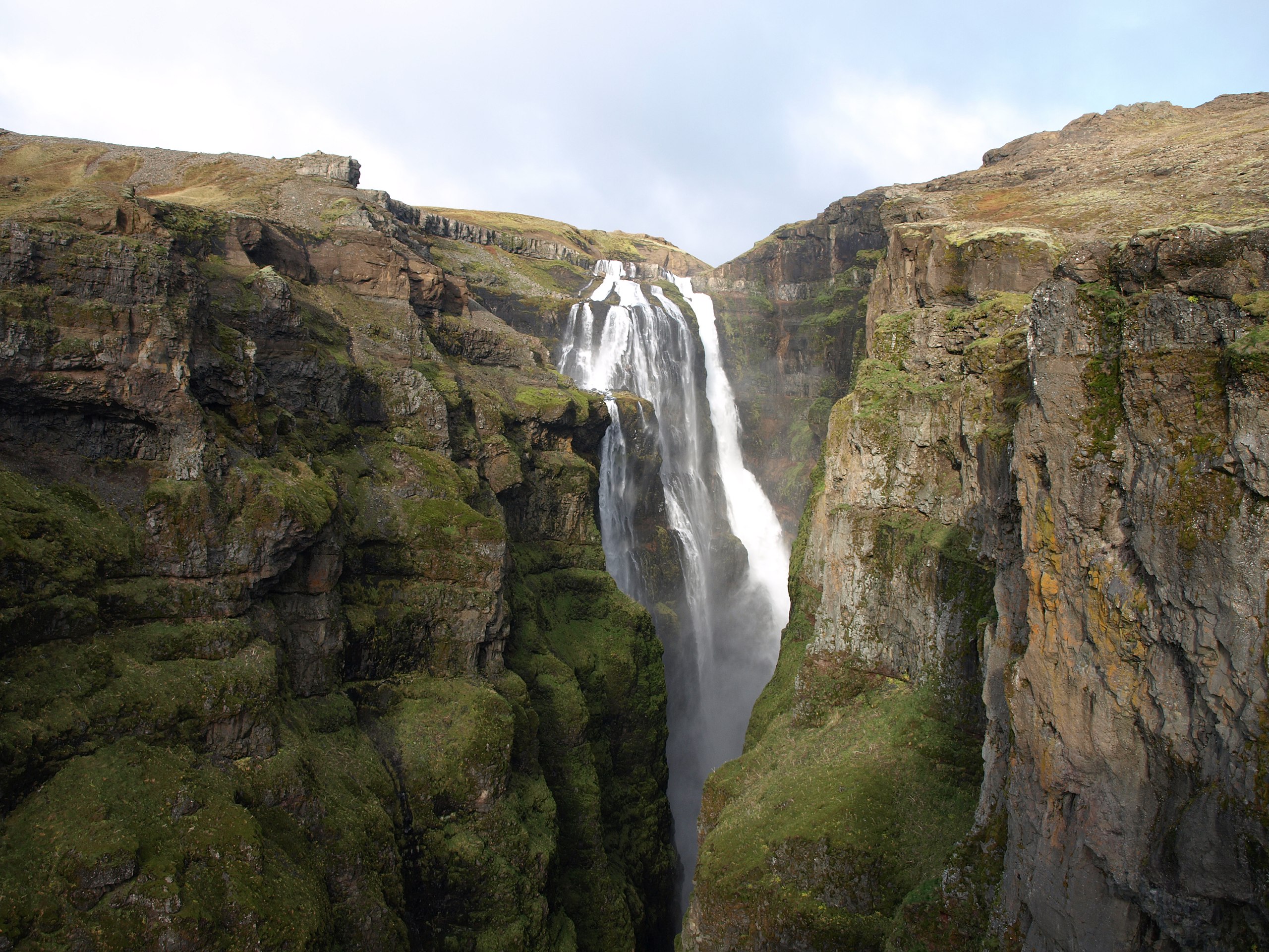
English: A pan view of Glymur, the highest waterfall in Iceland.
Íslenska: Breiðskot af Glym, hæsta foss Íslands. |
| Сана | October 1rst 2008 |
| Манбаъ | Кори худ |
| Муаллиф | Jabbi |
| Camera location | | View this and other nearby images on: OpenStreetMap |
|---|
Иҷозатнома
| I, the copyright holder of this work, release this work into the public domain. This applies worldwide. In some countries this may not be legally possible; if so: I grant anyone the right to use this work for any purpose, without any conditions, unless such conditions are required by law. |
Таърихи файл
Рӯи таърихҳо клик кунед то нусхаи марбути парвандаро бубинед.
| Таърих | Бандангуштӣ | Андоза | Корбар | Тавзеҳ | |
|---|---|---|---|---|---|
| нусхаи феълӣ | 14:02, 4 октябри 2008 | | 3 200 × 2 400 (5,29 Мбайт) | Jabbi | {{Information |Description={{en|1=A pan view of Glymur, the highest waterfall in Iceland.}} {{is|1=Breiðskot af Glym, hæsta foss Íslands.}} |Source=Own work by uploader |Author=Jabbi |Date=October 1rst 2008 |Permission= |other_versions= |
Пайвандҳо
Саҳифаҳои зерин ба ин акс пайванданд:
Истифодаи саросарии парванда
Викиҳои дигари зерин ин файлро истифода мекунанд:
- Истифода дар arz.wikipedia.org
- Истифода дар ast.wikipedia.org
- Истифода дар ca.wikipedia.org
- Истифода дар cs.wikipedia.org
- Истифода дар de.wikipedia.org
- Истифода дар es.wikipedia.org
- Истифода дар fr.wikipedia.org
- Истифода дар is.wikipedia.org
- Истифода дар ja.wikipedia.org
- Истифода дар no.wikipedia.org
- Истифода дар ro.wikipedia.org
- Истифода дар ru.wikipedia.org
- Истифода дар uk.wikipedia.org
- Истифода дар www.wikidata.org