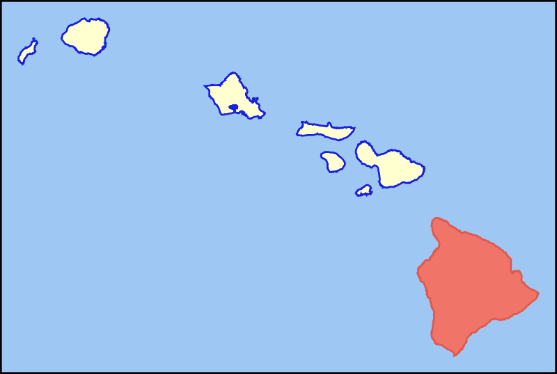
Акс:Map of Hawaii highlighting Hawaii (island).svg

Ҳаҷми пешнамоиши PNG барои файли кунунии SVG: 800 × 538 пиксел. Дигар кайфиятҳо: 320 × 215 пиксел | 640 × 431 пиксел | 1 024 × 689 пиксел | 1 280 × 862 пиксел | 2 560 × 1 723 пиксел | 6 063 × 4 081 пиксел.
Акси аслӣ (SVG парванда, исмӣ 6 063 × 4 081 пиксел, андозаи парванда: 12 кбайт)
.svg)
Хулоса
| Тавсифот | Colored locator map for the island of Hawaii |
| Сана | |
| Манбаъ | Based on the SVG file that was released to the public domain by David Benbennick at Wikipedia: Image:Map_of_Hawaii_highlighting_Kalawao_County.svg |
| Муаллиф | MattWright |
Иҷозатнома
| This work has been released into the public domain by its author, I, MattWright. This applies worldwide. In some countries this may not be legally possible; if so: I, MattWright grants anyone the right to use this work for any purpose, without any conditions, unless such conditions are required by law. |
Таърихи файл
Рӯи таърихҳо клик кунед то нусхаи марбути парвандаро бубинед.
| Таърих | Бандангуштӣ | Андоза | Корбар | Тавзеҳ | |
|---|---|---|---|---|---|
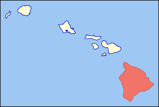
| нусхаи феълӣ | 08:33, 30 июли 2007 | | 6 063 × 4 081 (12 кбайт) | MattWright | == Summary == {{Information |Description=Colored locator map for the island of Kauai |Source=Based on the SVG file that was released to the public domain by [http://commons.wikimedia.org/wiki/User:Dbenbenn David Benbennick] at [http://en.wikipedia.org/wik |
Пайвандҳо
Саҳифаҳои зерин ба ин акс пайванданд:
Истифодаи саросарии парванда
Викиҳои дигари зерин ин файлро истифода мекунанд:
- Истифода дар af.wikipedia.org
- Истифода дар als.wikipedia.org
- Истифода дар ar.wikipedia.org
- Истифода дар az.wiktionary.org
- Истифода дар bg.wikipedia.org
- Истифода дар br.wikipedia.org
- Истифода дар ca.wikipedia.org
- Истифода дар de.wikipedia.org
- Истифода дар de.wikivoyage.org
- Истифода дар el.wikipedia.org
- Истифода дар en.wikipedia.org
- Истифода дар eo.wikipedia.org
- Истифода дар es.wikipedia.org
- Истифода дар fr.wiktionary.org
- Истифода дар fy.wikipedia.org
- Истифода дар ga.wikipedia.org
- Истифода дар haw.wikipedia.org
- Истифода дар hi.wikipedia.org
- Истифода дар hu.wikipedia.org
- Истифода дар ia.wikipedia.org
- Истифода дар id.wikipedia.org
- Истифода дар is.wikipedia.org
- Истифода дар it.wikivoyage.org
- Истифода дар ja.wikipedia.org
- Истифода дар lt.wikipedia.org
- Истифода дар ms.wikipedia.org
- Истифода дар pt.wikipedia.org
- Истифода дар ro.wikipedia.org
- Истифода дар sk.wikipedia.org
- Истифода дар sv.wikipedia.org
- Истифода дар th.wikipedia.org
- Истифода дар ur.wikipedia.org
- Истифода дар vi.wikipedia.org
View more global usage of this file.
.svg)
.svg)