Акс:Map of Peru Demis.png
Андозаи ин пешнамоиш: 423 × 600 пиксел. Дигар кайфиятҳо: 169 × 240 пиксел | 338 × 480 пиксел | 840 × 1 191 пиксел.
Акси аслӣ ((840 × 1 191 пиксел, ҳаҷми парванда: 431 кбайт, навъи MIME: image/png))
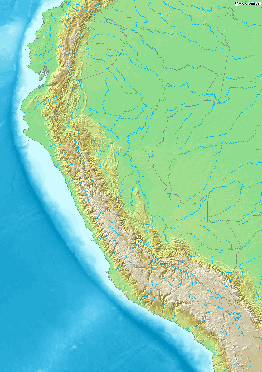
Map of Peru
Bounding box West -82.5°, South -19.5°, East -67.5°, North 1.5°. Center at 9°00′00″S 75°00′00″W / 9.00000°S 75.00000°W.
This image is in the public domain because it came from the site https://www.demis.nl/products/web-map-server/examples/ and was released by the copyright holder. Permission is granted to copy, distribute and/or modify this map since it is based on free of copyright images from: www.demis.nl. See also approval email on de.wp and its clarification.
|
| This work has been released into the public domain by its copyright holder, www.demis.nl. This applies worldwide. In some countries this may not be legally possible; if so: www.demis.nl grants anyone the right to use this work for any purpose, without any conditions, unless such conditions are required by law.
|
Таърихи файл
Рӯи таърихҳо клик кунед то нусхаи марбути парвандаро бубинед.
| Таърих | Бандангуштӣ | Андоза | Корбар | Тавзеҳ | |
|---|---|---|---|---|---|
| нусхаи феълӣ | 20:26, 20 Декабри 2006 | | 840 × 1 191 (431 кбайт) | Mats Halldin~commonswiki | Map of Peru Bounding box West -82.5°, South -19.5°, East -67.5°, North 1.5°. Center at {{coor d|9.00000|S|75.00000|W|scale:12600000}}. {{demis-pd}} category:maps of Peru |
Пайвандҳо
Саҳифаҳои зерин ба ин акс пайванданд:
Истифодаи саросарии парванда
Викиҳои дигари зерин ин файлро истифода мекунанд:
- Истифода дар ar.wikipedia.org
- Истифода дар ast.wikipedia.org
- Истифода дар bg.wikipedia.org
- Истифода дар bs.wikipedia.org
- Истифода дар ceb.wikipedia.org
- Истифода дар ckb.wikipedia.org
- Истифода дар en.wikipedia.org
- Истифода дар es.wikipedia.org
- Истифода дар fa.wikipedia.org
- Истифода дар gd.wikipedia.org
- Истифода дар it.wikipedia.org
- Истифода дар kn.wikipedia.org
- Истифода дар la.wikipedia.org
- Истифода дар lv.wikipedia.org
- Истифода дар pl.wikipedia.org
- Истифода дар uk.wikipedia.org
- Истифода дар vi.wikipedia.org
- Истифода дар war.wikipedia.org
- Истифода дар zh.wikipedia.org