Акс:North Macedonia relief location map.jpg

Андозаи ин пешнамоиш: 724 × 600 пиксел. Дигар кайфиятҳо: 290 × 240 пиксел | 580 × 480 пиксел | 927 × 768 пиксел | 1 236 × 1 024 пиксел | 1 368 × 1 133 пиксел.
Акси аслӣ ((1 368 × 1 133 пиксел, ҳаҷми парванда: 332 кбайт, навъи MIME: image/jpeg))
Хулоса
| Camera location | | View this and other nearby images on: OpenStreetMap |
|---|
| Тавсифот |
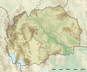
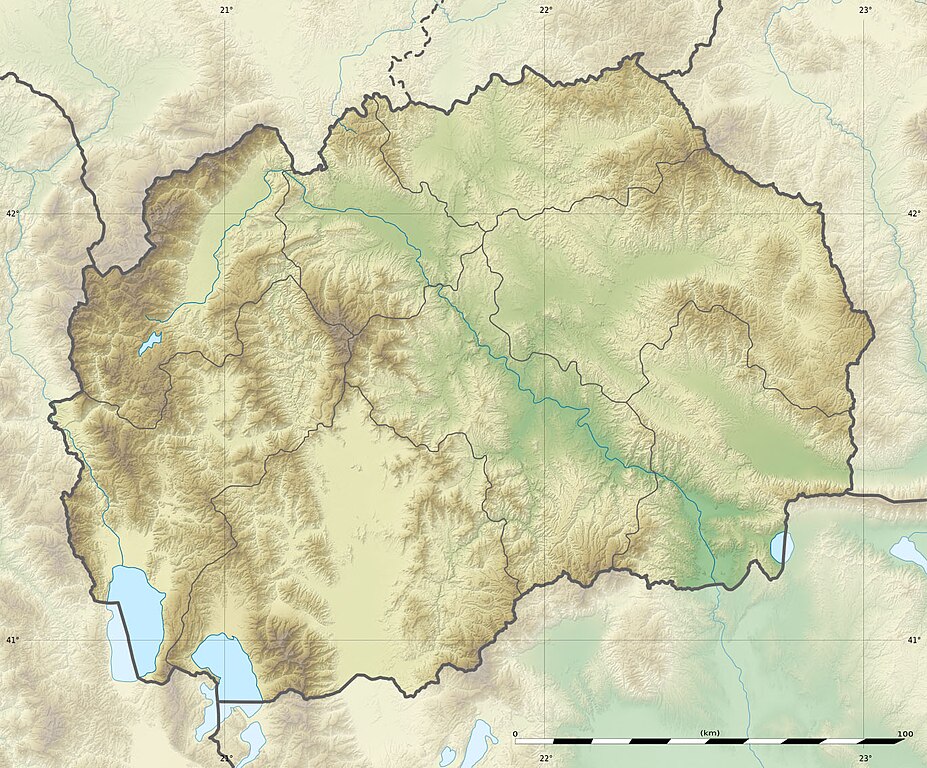
English: Blank physical map of the North Macedonia, for geo-location purpose.
Français : Carte physique vierge de la Macédoine du Nord, destinée à la géolocalisation. Equirectangular projection, WGS84 datum
Geographic limits of the map:
|
||
| Сана | |||
| Манбаъ |
|
||
| Муаллиф | Eric Gaba (Sting - fr:Sting) and NordNordWest | ||
| Иҷозат (Пешроҳандозии ин парванда) |
|
||
| Other versions |
Derivative works of this file:
|


|
This map has been made or improved in the German Kartenwerkstatt (Map Lab). You can propose maps to improve as well.
|
Иҷозатнома
I, the copyright holder of this work, hereby publish it under the following licenses:

|
Permission is granted to copy, distribute and/or modify this document under the terms of the GNU Free Documentation License, Version 1.2 or any later version published by the Free Software Foundation; with no Invariant Sections, no Front-Cover Texts, and no Back-Cover Texts. A copy of the license is included in the section entitled GNU Free Documentation License. |
This file is licensed under the Creative Commons Attribution-Share Alike 3.0 Unported license.
- Шумо озодед:
- мубодилот намудан – копӣ, паҳн ва фиристадани асар
- ремикс кардан – татбиқи кор
- Under the following conditions:
- тахсис – You must give appropriate credit, provide a link to the license, and indicate if changes were made. You may do so in any reasonable manner, but not in any way that suggests the licensor endorses you or your use.
- саҳми яксон – If you remix, transform, or build upon the material, you must distribute your contributions under the same or compatible license as the original.
Шумо иҷозатномаи хостаи худро интихоб карда метавонед.
Таърихи файл
Рӯи таърихҳо клик кунед то нусхаи марбути парвандаро бубинед.
| Таърих | Бандангуштӣ | Андоза | Корбар | Тавзеҳ | |
|---|---|---|---|---|---|
| нусхаи феълӣ | 15:09, 10 июли 2010 | | 1 368 × 1 133 (332 кбайт) | Sting | == {{int:filedesc}} == {{Location|41|36|00|N|21|45|00|E|scale:1000000}} <br/> {{Information |Description={{en|Blank physical map of the Republic of Macedonia, for geo-location purpose.}} {{fr|Carte physique vierge de la [[:fr |
Пайвандҳо
Саҳифаҳои зерин ба ин акс пайванданд:
Истифодаи саросарии парванда
Викиҳои дигари зерин ин файлро истифода мекунанд:
- Истифода дар als.wikipedia.org
- Истифода дар ar.wikipedia.org
- Истифода дар ast.wikipedia.org
- Истифода дар az.wikipedia.org
- Şablon:Yer xəritəsi Şimali Makedoniya
- Pelister Milli Parkı
- Vodno
- Şar dağları
- Qolen Qrad
- Yakupisa
- Baba dağı (Şimali Makedoniya)
- Yablanitsa
- Kojuf
- Korab şəlaləsi
- Lyubotin dağı
- Stoqovo
- Plaçkovisa
- Boqovin gölü
- Smolar şəlaləsi
- Vrelo mağarası
- Peşna mağarası
- Pelisterin gözləri
- Kozyak SES
- Oxrid-Prespa qoruğu
- Doyran gölü
- Истифода дар ban.wikipedia.org
- Истифода дар ba.wikipedia.org
- Истифода дар be-tarask.wikipedia.org
- Истифода дар be.wikipedia.org
- Истифода дар bg.wikipedia.org
View more global usage of this file.